-40%
3 Mining Claims Quartzite Arizona Gold Copper Turquoise Mine AZ Lode 61.98 acre
$ 11484
- Description
- Size Guide
Description
CM1 - CM3Department of Land Transfer Info
Equipment
Feedback
Other Claims for Sale
Contact Us
Add To Favorites
Three (3) lode claims in the Quartzite Arizona/Historic Plomosa Mining District for sale! A total of 61.98 acres on BLM land with a track record for proven production.
Gold, Silver AND Turquoise !!
The CM1, CM2 and CM3 claims consist of three (3) unpatented lode claims covering 61.98 acres (20.66 acres per claim) on federal land managed by the U.S. Bureau of Land Management. These claims are in the historic and past producing Plomosa District in La Paz County, Arizona, which is known for copper, silver, gold, turquoise, manganese and barite.
This group of “CM” claims were once part of the historic Climax Mine, which produced copper, silver and gold and contains two shafts, one adit, several prospect pits, and multiple open cuts/trenches. There are also multiple tailings and other smaller workings that we estimate would be well worth your time to prospect. You will see pictures of two (2) identified in-place turquoise veins with lots of copper oxide mineralization, so you will have an excellent gem opportunities here as well as precious metals.
Mineral exploration in the Climax area began around 1900. Mining at the Climax Mine began in 1905 and continued through the 1930’s before operation stopped in the 1940’s due to the beginning of World War II. More recent exploration includes trenching that occurred near the Climax Mine in the 1980’s. Early shipments from the district had published (USGS) grades of 7.6% copper, .33 oz/ton gold, and 2.4 oz/ton silver. Those numbers are consistent (and maybe even conservative) with XRF readings taken by our team on the ground in March of 2022.
Two physical samples collected at the Climax mine show gold values between .118 oz/ton and .125 oz/ton and silver values between .09 oz/ton and .14 oz/ton. These samples were collected in breccia zones that were 2-3 foot wide. Both samples were collected in 2020 in the targeted altered zones that showed strong turquoise and copper oxidated sections on the outer edge of the altered zone.
Some of the samples pulled from the sites
Buyer will receive the following with their completed transaction:
Quitclaim deed showing full ownership of the claim. This will be stamped, recorded and verified with the County and the BLM offices.
Welcome packet with all of the rules and regulations as they relate to the State and BLM where the claim is located.
Educational documents to annually renew your mining claim with the BLM.
A CD of all of the documented images of the claim including maps of the site.
Map of claim marked and GPS coordinates.
Multiple maps showing claim location and surrounding areas for access.
Portable X-Ray Fluorescence field units (also known as XRF guns) are commonly used by large commercial mining operations, well-equipped/funded private prospectors and even the Environmental Protection Agency (EPA) as well as many other government agencies for the most accurate field sampling in the quickest amount of time. In no way do we advise that you base all of your commercial mining valuations on just one or two samples (regardless of how accurate the method that you use to sample is), but this extremely precise and versatile ,000 device is equipped with powerful X-ray tubes, specialized filters, highly advanced detectors, and multi-beam optimization that efficiently analyzes the chemistry of the rock, soil, and sediment that hosts metals, for a quick and extremely accurate analysis of even trace levels of metals like silver, lead, gold, platinum, copper and many other elements.
Today’s highly sensitive XRF Handhelds (we use the best unit available on the market – an Olympus Delta Premium with a full mining package) work by emitting an x-ray beam with enough energy to displace the electrons in the inner shells of the atoms that differ from the energy it gives off leading to a loss of energy in that atom. The specific loss of energy identifies the elements that are present in the sample. While fire assay is still the most widely used way to gauge how much or a particular metal (like gold and silver) is present in a sample since it can test the entire sample, it is an expensive process and takes many weeks to get an answer. XRF technology is the fastest and most accepted method in existence today for sampling a few millimeters (or deeper depending on the type of host rock sampled) into the surface of even the hardest rock, and the accuracy is measured in 1 to 2 parts per million (PPM)
Come to Hike, Camp, Ride and Shoot - or come to pull some shiny rock$ out of the ground;-)
Mining and Exploration Potential: The mines could easily be developed for a small-scale silver, gold, or turquoise mine depending on your preference. We pulled several samples here for further study back at the office (crushed and homogenized for confirmation of the field readings) and shot numerous XRF readings at each mine and prospect. One of the samples taken from the source rock in the largest of the historic prospects showed a large zone of alteration and the development of turquoise. See the pictures of that sample to see why we suggest you explore the copper oxides for turquoise.
Several spectacular private canyons to work in seclusion on this extensive claim at your leisure here. Some weekend recreational ATV and off-road traffic during the winter season. Year-round access (and weather) for mining. Several really promising sections of canyons and dry washes on the claim that I would strongly suggest you take the time to prospect. After the last couple of monsoon seasons we have had in AZ, there’s bound to be new material washing down from the lodes above.
Location and Access:
From Parker, Arizona take AZ-95 south for 12 miles. Continue east onto AZ-72 and follow to Bouse, Arizona for 14 miles. Turn right heading southwest onto Plomosa Road. Stay on Plomosa Road for 12.5 miles before making a left heading east onto a small two track road. Follow this road for 0.5 before reaching a fork. Continue on the right fork for 0.75 miles before reaching your destination. The road is reasonable and in our estimation an experienced driver can get to the claim with 2-wheel drive as long as you have good ground clearance and good tire tread. But 4-wheel drive is recommended for safety if you will be traveling to the claim by yourself (a good rule-of-thumb any time you are in the back-country by yourself). From Quartzite, head north on Highway 95 for 5.7 miles and take a right on Plomosa Road then follow same route above to mine.
MAPS
The Plomosa District is located in La Paz County, Arizona near Bouse and about 17 miles NE of Quartzite. Placer gold was being actively mined by the late 1860’s in the Plomosa Mining District. Larger scale placer mining using drywashing machines began production in 1910’s.
The first detailed mineral study of the area was by Bancroft in 1911. Several mines around Climax including the Tough Nut (recently sold by us), Southern Cross, Jewell, and Mudersbach were all actively mined with varying success between 1900-1930. The Mudersbach was primarily a copper and lead mine with the Tough Nut, Southern Cross, and Jewell producing gold and silver along with copper.
Iron was produced from the Phoenix and Yuma mine groups that are located in the northwest of the Plomosa mining area in 1917. This Iron was from hematite veins within the fault complex.
The most recent mining activity in area took place in 1960 by the Loma Grande Mining Company who recovered low grade gold ore at the old Little Butte Mine. They used a cyanide leaching operation to extract gold from the ore.
A report from 1990 estimated that a total production for the mining district was 346,000 lbs of copper, 5,000 oz of gold, 25,000 lbs of lead, and 7,000 oz of silver.
The Copperstone Gold Mine north of Quartzsite, Arizona is the largest nearby mine with historic production of gold at approximately 514,000 ounces from 1987 to 1993. Kerr Mines acquired Copperstone in 2014 and has issued a technical report estimating gold resources of 175,000 ounces.
Regional Geology:
The CM1, CM2 and CM3 claims are located within the Basin and Range Province of southwestern North America. The north to south trending high angle normal faults creates the north to south valley and mountain systems that dominate the Mountain West in the western United States. The older controlling feature in the Plomosa Mining District is the detachment fault which is a low angle normal fault with large horizontal displacements (sometimes hundreds of miles). This detachment fault has resulted in the exposure of lower gneissic material with high grade alteration.
This exposure of altered material gives the Plomosa district its high concentration of mineral deposits. Strong mineralized zones in the district are related to various aged dike systems in the northern section of the Plomosa Mining District. Later Tertiary activity of volcanics along with zones of weakness from faulting activity allowed for hydrothermal emplacement of some of the major mineral deposits including the hematite veining in the northwest of the region. Epithermal gold-rich mineralization occurs in sheared and brecciated reactive rocks, this includes various carbonate deposits in the region. Limestone and marble deposits are located in the northwest of the mining district are included in these reactive rocks.
Local Geology:
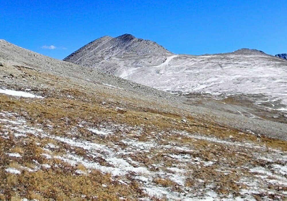
The claim is located intermediate to felsic dike in a valley just west of Ibex Peak. Younger rhyolites can be found on the hill sides around the valley. The hill shows an overall alteration from its red color with strong veining throughout. To the south of CM1 lies the CM3 claim (part of this group of three claims you will own outright) that holds three more shafts of the original Climax Mine. These shafts follow a large vein that is 2-3 feet wide, dipping near vertical, with a strike of approximately 330 degrees. This is the controlling structure of alteration within the hillside with several major veins outcropping on CM1. These veins show hematite alteration with bornite staining and beautiful copper oxidation including turquoise. Most of the material in the area is Miocene aged volcanics including some mafic material to the east of the claim.
Available Reports:
Scarborough, R.B. and Meader, N.M., 1983, Reconnaissance Geology of the Northern Plomosa Mountains. Russel M. Corn, 1990 Arizona Geological Survey Open File Report. Plomosa Gold Prospect, La Paz County, Arizona. John T. Duncan, 1990, The Geology and Mineral Deposits of the Northern Plomosa District La Paz County, Arizona. Spencer, J.E., Youberg, A., Love, D., Pearthree, P.A., Steinke, T.R., and Reynolds, S.J., 2014, Geologic Map of Bouse and Ibex Peak 7 1⁄2’ Quadrangles, La Paz County, Arizona: Arizona Geological Survey, Digital Geologic Map DGM-107, Scale 1:24,000.
Arizona
is consistently ranked as one of the top mining jurisdictions in the world for being mining- friendly and continuing to produce major discoveries. Arizona is the largest metal mining state in the U.S. and home to many world class copper mines including Morenci, Bagdad, Sierrita, Ray, and Resolution. Arizona also has numerous gold mines and some of the biggest silver-lead-zinc discoveries (Taylor Mine). Arizona is world famous for turquoise and other semi-precious stones and lapidary materials – often found near copper mining areas. Arizona is 38% owned by the federal government and most of this land is available for mining. This means some of the best mining ground in the world is open to small prospectors – a very unique situation. There are many mining companies active in Arizona and therefore, multiple potential buyers for any discovery you make. Canadian based junior exploration companies are particularly active in Arizona.
Buying
a claim is a great way to get started in mining and prospecting. Buying a claim that is professionally staked reduces your upfront work and the risk of making a mistake on your paperwork or in the field. This claim is in a proven area with historical mining activity and you have numerous pits, shafts, and adits to explore. Finding these claims takes lots of research that is already done for you.
We compile an extensive data package on all our claims (which we provide to you in your claim packet) including geological reports, assays, maps, photos, and other historical research. All of this information will be very helpful if you decide to sell your claim in the future.
Ownership
of mining claims is transferred with a Quitclaim Deed which we prepare. We pay all claim transfer fees and file the claim transfer paperwork with the BLM and La Paz County. The BLM takes about 3-4 weeks to process the claim transfer (Quitclaim) and register the claim in your name. The La Paz County Recorder usually take 2-3 weeks to return the recorded Quitclaim Deed. Once the transfer is complete we will send you all the original documents including the file stamped Quitclaim Deed, copies of original location notices and claim maps.
Annual Claim Fees;
The BLM charges a 5 per claim annual maintenance fee which is due on September 1st each year. The BLM fees can be paid online their claim management portal.
If you own less than 10 mining claims nationwide, you can qualify for a waiver of the annual maintenance fee by filing a Small Miner’s Waiver. However, the Small Miner’s Waiver requires that you perform 0 in labor or improvements on the claim each year and it requires some county recording, so it is paperwork intensive. We will provide all the documentation needed should you choose to go this route, and count on us to lend a hand with instructions on how to complete the paperwork, get it notarized and recorded so you can file the waiver.
Your payment of this eBay item in full gives you 100% ownership of this entire claim, with no other fees and/or other costs for the transfer of ownership required. This is NOT for the down payment, this is NOT a partnership arrangement where someone else will own part of the claim with you, and there are NO other fees or costs for the transfer of this claim in your name.
eBay does not allow checkout on the eBay website for any Real Estate transactions - simply because it is not like selling a widget - the transfer of real estate is complicated and requires notary work, licensed professionals and recording. Note that this is eBay’s rules and not ours and it is the same for any mining claim seller on eBay
We also are not able to accept PayPal payments for mining claims, as claims are real estate and PayPal does not allow payments to be made on any real estate items, including single family homes, condos, mining claim or land purchases. We DO accept just about every other kind of payment method you can think of: Personal Checks, Business Checks, Cashier's Checks, Money Orders, Bank Wires, ACH payments, Direct Bank Deposit at any Bank of America Branch, Gold or Silver Bullion (at the day’s SPOT prices), etc. We will send you a secure link to handle the payment safely online if you prefer, and we can also take care of payment by mail or telephone, as we are a traditional Brick and Mortar business - so whichever method you prefer is perfectly fine with us.
We are not able to provide financing for this mine.


