-40%
.70 Acre Lot | Horseshoe Bend, AR | Double Lot near Crown Lake | ~No Doc Fees~
$ 1578.71
- Description
- Size Guide
Description
Buy It Now price is the price you pay.Purchase price, back taxes, transfer tax, recording fee and postage are all included in Buy It Now Price.
No doc fees, No hidden seller fees after purchase.
Property will be transferred to new owner by Quit Claim deed.
All back taxes through 2021 have been paid by the seller.
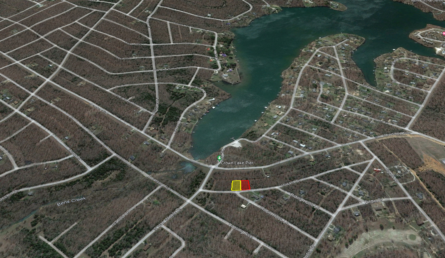
Rare double lot within walking distance of the Crown Lake Pier! Sister lots are being sold together.
All statements made within this auction are based on our knowledge of the property provided in county resources and Google Earth. To achieve the lowest price possible for this residential lot; no surveys, engineering studies, or appraisals have been conducted on this land. This property was purchased from the State of Arkansas with a Limited Warranty Deed and all information known is provided in the property details below. For further information about the property, please contact the resources below:
County Clerk: 870-368-4316
County Assessor: 870-368-7810
County Collector: 870-368-4394
Water/Sanitation: 870-670-5885
Electric: North Arkansas Electric Co-op 870-670-4361
Zoning & Planning: 870-670-5433
Property Description
Total Size:
0.70 Acres (30,384 sqft)
APN:
800-10568-000
Total Size:
0.36
Acres
Legal Description:
Section: Township: Range: Acreage: Lot:16 Block: City: HORSESHOE BEND Addition: SLEEPY HOLLOW School Dist: 101
Address:
301 Wizard Dr.
Property Tax:
.48. (Assessed in 2021 and paid current)
APN:
800-10569-000
Total Size:
0.34 Acres
Legal Description:
Section: Township: Range: Acreage: Lot:17 Block: City: HORSESHOE BEND Addition: SLEEPY HOLLOW School Dist: 101
Address:
211 Wizard Dr.
Property Tax:
.48. (Assessed in 2021 and paid current)
Subdivision:
Sleepy Hollow
City:
Horseshoe Bend
County:
Izard
Zip:
72512
State:
Arkansas
Conveyance Document:
Quit Claim Deed (Recorded by Seller)
Association Fees:
None
Closing/Doc. Fees:
No additional fees for this listing
Road Frontage:
202ft
General Elevation:
704ft
Type of Terrain:
Sloped - 15
ft elevation increase over 150ft from the rear to the front of the lot
Time Limit to Build:
None
Power:
In the Area /
Neighboring
Property
Water:
In the Area / Well may be needed
Sewer:
In the Area / Septic or alternative system may be needed
Road Access:
Paved Road
GPS Coordinates:
36.2223436210322,-91.7429075037087
36.2227082116566,-91.7431909043344
36.2226920617267,-91.7432218786895
36.2226757276317,-91.7432527056975
36.222659209367,-91.7432833831337
36.222642509634,-91.7433139098771
36.2226256275268,-91.743344283706
36.2226085648479,-91.7433745046145
36.2225913224893,-91.7434045681508
36.2225739013523,-91.7434344743118
36.2225563014347,-91.7434642219851
36.2225445056579,-91.7434839064046
36.2221997561644,-91.7431653169802
36.2222165141093,-91.7431371914895
36.2222330941705,-91.7431089052867
36.222249495456,-91.7430804628234
36.2222657170621,-91.7430518629905
36.2222817589936,-91.7430231080125
36.2222976185536,-91.7429942012349
36.2223132966433,-91.742965142655
36.2223287905637,-91.7429359345059
36.2223436210322,-91.742907503708
36.2221997561644,-91.7431653169802
36.2225445056579,-91.7434839064046
36.2225266113666,-91.7435133847299
36.2225085427939,-91.743542701216
36.2224902999306,-91.7435718514141
36.2224718827767,-91.7436008353241
36.222457763892,-91.7436227605302
36.2224422124267,-91.7436465555446
36.2224264911675,-91.7436701786993
36.2224106001122,-91.7436936288821
36.2223945419599,-91.7437169038598
36.2223783167083,-91.74374000252
36.2223691713154,-91.7437528414589
36.2220480997488,-91.7433991936835
36.2220631076106,-91.7433778974357
36.2220779501733,-91.7433564237553
36.222092623839,-91.7433347759905
36.2221071286077,-91.7433129541416
36.2221189484273,-91.7432948513146
36.2221365236234,-91.7432674973604
36.222153926327,-91.7432399748907
36.2221711556415,-91.7432122861327
36.2221882097715,-91.7431844344291
36.2221997561644,-91.7431653169802
Closing Process
1.
I will email an invoice to the email address provided in the message below.
Full payment
must be sent within 24 hours of receiving an emailed invoice.
2.
To process your deed as quickly as possible, please send Ebay message containing following information within 24 hours of Ebay purchase confirmation:
a.
Name or Names you wish to have on the Deed
b.
If married, do you wish to file jointly?
c. Current
Address (Address where you would like the county to mail final Deed from the county)
d.
E-mail address to send a scanned copy of your notarized Deed
3.
Once the payment has cleared and information above is received, we will notarize and submit the Quit Claim Deed to the county to be recorded within 48 hours. You will receive a single email containing scanned copy of the notarized deed as proof of ownership and a tracking number to serve as proof of delivery to the county.
4.
The county will record the deed and send you the Deed via mail. You may also call or check their website once the transfer has been completed. Recording process takes up to 5-6 weeks for completion
Bidding Disclosure
The winner of this sale will own the entire parcel, titled solely to the buyer (co-owner if specified)
Buyers should complete their own due diligence in addition to information provided in this listing; using resources provided throughout this listing and external sources available to land owners and investors.
I have been a seller on Ebay since 2013 with 100% positive feedback. Bid confidently as it is my responsibility to ensure a positive real estate transaction and treat customers fairly.
Frequently Asked Questions
Q: How long will I have to wait to receive the deed once I pay the total amount for the property?
A: Once I receive payment in full and contact information is provided; I will email you a notarized copy of the deed to serve as proof of ownership, while the county completes the recording process and a tracking number for the original deed that was sent to the county to be recorded. The recording process can take 5-6 weeks, but the county can be contacted for updates using the phone number for the county resources provided in this listing.
Q: Do you accept personal checks?
A: We only accept credit/debit card payment through Authorize.net
Q: Do you sell worldwide?
A: No, we currently only sell properties within the United States.
Q: Do you have pictures of this property?
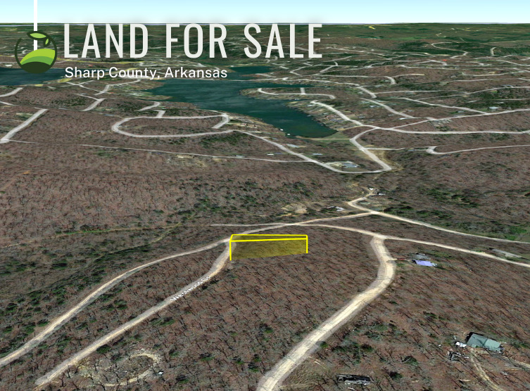
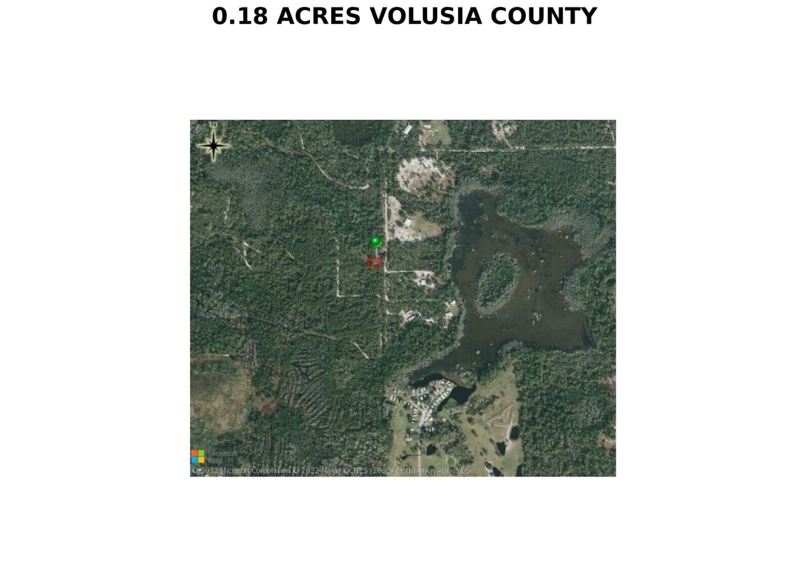
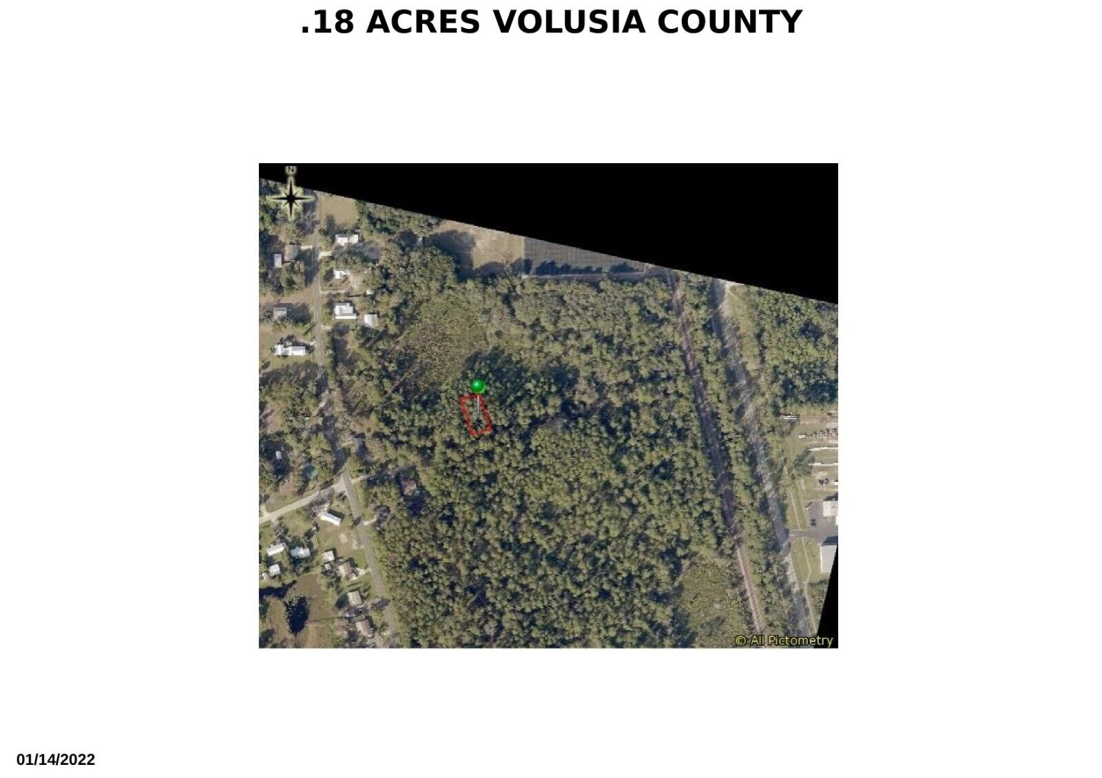
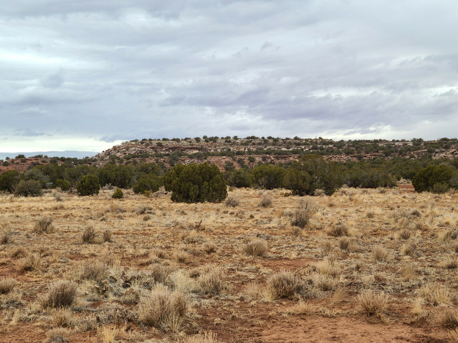
A: All of the photographs that I have are posted in the auction listing. Listings include pictures from the actual property via Google Earth and County Resources.
Q: How do I get to this property?
A: Refer to the maps in the pictures and address in the property description.
Q: Should I look at the property prior to bidding?
A: Yes, I have not seen the listed property in person and it is your responsibility to make sure that the property in this auction meets your expectations.
Q: What if I still have questions about the property after reading the property description?
A: I have provided as much information as we have on the property. Everything that we know about the property is in the listing. Questions regarding building restrictions and zoning can be answered by speaking with the County Offices using the contact information provided above.
Q: Are mineral rights included in the sale of this property?
A: Mineral rights are not included with this property sale unless otherwise noted. Mineral right acquisition for this property can be confirmed by contacting the county resources above.
Legal
By bidding, you agree to the terms and conditions listed above in this auction.
We reserve the right to cancel all bids not approved or showing poor feedback and in the event the property is sold outside this auction. We reserve the right to sell the property outside of this auction. This listing is a binding real estate auction; as such, the buyer and the seller are expected to follow through on the transaction in good faith. Please do your due diligence before bidding and only bid if you are prepared to own this property. The property is being sold "as-is" with no warranties either expressed or implied,
in whatever physical condition, including topography and/or location the parcel may be found at the time of sale, subject to all existing covenants, conditions, restrictions, reservations, exploration rights, easements, rights of way, assessments, zoning of record and any land use restrictions or lack of same. Buyer/s acknowledges having inspected the property and investigated its suitability and usability prior to placing a bid, including the availability of access and utilities or lack of same.
GPS is estimated. Seller has never been to the property. All information is to the best of our knowledge. No refunds or exchanges.
I do not make any claims as to the future development of this land by anyone beyond its present status.
Taxes and any additional costs in regard to building on, and or ownership of this lot are the responsibility of the winning bidder / buyer.
