-40%
Unpatented Placer Mining Claim in Yuma County, AZ NEAR WATER
$ 1581.36
- Description
- Size Guide
Description
Visitusaminingclaims.com
for more information and additional claims!
Operation Type:
Placer
Development Status:
Past producer
Commodities:
Gold (primary), silver, and copper
Access
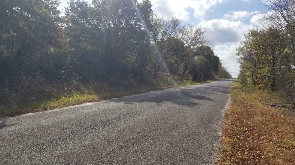
: A dirt road that follows the canal is used to access this claim.
Vehicle Required:
4x4
Foot Traffic
: Yes; dirt biking, fishing, and camping is popular in the area.
Nearest City
: Yuma, AZ
Point 1 (NW) Coordinates:
32.7933, -114.4964
We encourage our potential buyers to visit the site before purchasing. Message us for more information on how to access the location. Note that we are also selling another 20 acre unpatented mining claim neighboring this one on the south. If purchased together, the cost is ,995 for the 40 acres of mining claim rights.
Mining District Information
This area is specifically part of the Laguna Dam placers and prospects of the Laguna Mining District. The former Au-Ag placer mining area is located in the southern ½ sec. 14, and the northern ½ sec. 23, T7S, R22W, at the East end of Laguna Dam, NW slope of the Laguna Mountains, and about 10 miles NE of Yuma, and extends into the bed of the Colorado River. This claim is situated south of Laguna Dam, adjacent to North Gila East Main Canal.
Mineralization is coarse placer gold and nuggets occurring in gulches draining from the NW slope of the Laguna Mountains in pot holes on benches above the Colorado River; and in the Colorado River, where a dam was constructed. The gold originated from local quartz veins in Mesozoic schist and granitic gneiss near river margins. Masses of black schist and coarse, granitic gneiss rise steeply for 250 feet above the Colorado River Erosion of certain quartz veins in these rocks has given rise to coarse, rusty placer gold.
In 1907, during the construction of Laguna Dam, placer nuggets and a small gold-quartz vein were found at the river margin of these mountains. Considerable placer prospecting has been done in several of the gulches of this area and certain pot holes, up to 100 feet above the river, were found to carry rather coarse gold.
Workings include placer operations and prospecting since the 1860's to the 1940's, with an estimated and reported production of several thousand oz. gold, with minor silver.*
The Laguna or Las Flores mining district covers the Laguna Mountains, sometimes called the San Pedro Mountains in southwestern Yuma County. The mountains are bordered on the west by the Colorado River, on the south by the Gila River, and on the east by Castle Dome Wash . Low hills and ridges extend northward along the Colorado River to major washes draining into the Colorado River. The Spanish name "Laguna" (meaning "lake") came from a lake or swamp that was formed in the past along the Colorado River near Laguna Dam. Las Flores (meaning "the flowers" in Spanish) was the name given by early Mexican miners to the mining area and settlement on the eastern flank of the main mass of the range.
The Laguna Mountains are a relatively low, rugged, irregularly dissected range bordered by elevated pediments. Elevations range up to some 1,080 feet. Mountains consist of Precambrian metamorphic rock with some more recent lavas. It has also been noted that schist and gneiss of Precambrian to Mesozoic age, cut by pegmatite dikes and quartz veins are approximately along the major laminations, and Tertiary, well-stratified sandstone. sills, and gypsiferous clays around the margin of the mountains, at places in fault contact with the older rocks. It was discovered that these sediments were faulted and tilted to form the base of the pediment around the mountains. Volcanic rocks were seen on the western side of the range resting on the older metamorphic and possibly the Tertiary sediments. Quaternary , poorly stratified, weakly consolidated gravels with minor sand, clay, and silt were found to occur on the beveled Tertiary beds and metamorphics. It is believed they were deposited by the Colorado and Gila Rivers when the rivers were at higher elevations than at present.
*It is important to note that past findings not guarantee any mineral content, reserves, or future earnings.
Mining claims are a tangible asset and show your rights to the minerals in the claim boundary, not the actual land. The land belongs to the federal government, managed by the Bureau of land management (BLM). You m own a claim if you are a citizen of the United States, a minor who has reached the age of discretion, a corporat and non-citizens (aliens)who have declared their intention to become a citizen (43 CFR 3832.1).
Ownership of this mining claim is transferred by a quit claim deed. Your payment of this eBay item gives you ownership of the entire claim.Upon full payment, a quitclaim deed naming you as the new owner for this mining will be sent to you.
IMPORTANT INFORMATION
All fee's and documents required by the BLM have been filed for this assessment year. You will need to file eith annual maintenance fee or an affidavit of the performance of annual work, with a waiver form with the BLM before September 1st, 2022 and each following year. If you fail to file the paperwork properly, the BLM will close the claim and you can lose ownership. The documents delivered to you will also include the required forms to maintain the claim in good standing with the BLM.
Purchasing Process
Once you are ready to purchase we will send you an invoice through PayPal.*
After you send payment, you will receive the following:
1. GPS coordinates to get you to the claim.
2. A copy of the BLM recorded "Quitclaim Deed" after the claim is paid in full and you will
receive the physical Deed 4-6 weeks later
is to transfer ownership.
3. Paperwork to help you register the claim in your name for next year, and directions to renew the claim to kee active for future years.
4. Our assistance to answer any questions you may have about the purchase. If you have any questions before purchasing, please do not hesitate to contact us.
* For the protection of buyers, we only accept PayPal which provides security for you as a buyer and for me as a seller.


